Browns Summit Community Guide
Browns Summit sits in northeastern Guilford County, just beyond Greensboro’s more developed edge. The community combines wooded roads, established neighborhoods, newer homes and more open residential settings, all connected by practical routes into Greensboro and the northern Piedmont Triad.
This is not a town organized around a walkable downtown. Browns Summit stretches across the 27214 ZIP code, and the experience changes by location. The Lake Townsend and Bryan Park area feels different from NC Highway 150, Yanceyville Road, Summit Avenue and the quieter roads farther north and east. For buyers, understanding those smaller settings is more useful than treating every Browns Summit address as the same.
Use this neighborhood guide to compare housing styles, road access, everyday conveniences, schools, outdoor recreation and the local details that help Browns Summit maintain its own identity near Greensboro.
Location and Transportation
Browns Summit is a car-oriented community. Its roads matter because they shape how residents reach Greensboro, Reidsville, northern Guilford County and the services used throughout the week.
US 29 is the primary north-south route. Heading south leads toward northeast Greensboro and the rest of the city, while the northbound route continues toward Reidsville. NC Highway 150 crosses Browns Summit from east to west and connects the community with northern Guilford County, including the direction of Summerfield.
Yanceyville Road offers another Greensboro-facing corridor, especially for homes on the western side of Browns Summit. Hicone Road and Summit Avenue serve the southern edge, where city shopping and services feel closer. Because the 27214 area covers a broad landscape, the best-connected address depends on where a buyer travels most often.
Residential Settings
Browns Summit is better understood through its roads and landmarks than through one central district. These local settings give buyers a more useful way to narrow the search.
This southern pocket places golf, soccer fields and lake recreation nearby. It also keeps US 29 within reach for trips into Greensboro. Buyers often explore this area when outdoor access is part of their regular routine.
The NC 150 corridor contains a varied mix of older homes, established residential pockets, schools and newer development. It provides direct access across the community without feeling like a dense commercial strip.
Homes near Yanceyville Road can offer a more open residential setting while maintaining a straightforward route toward northern Greensboro. Newer neighborhoods appear alongside established properties in this part of the community.
The southern edge feels more closely connected with northeast Greensboro. It can suit buyers who want a Browns Summit address but expect to make frequent trips for groceries, dining, work or services.
Farther from Greensboro, the landscape becomes more open and wooded. Larger residential lots, longer driveways and less concentrated development contribute to a stronger rural feel.
New homes and small residential communities appear in select areas, particularly near established travel routes. These settings can combine current floor plans with a quieter location outside central Greensboro.
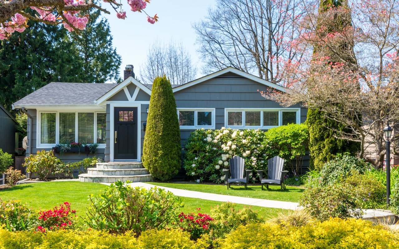
Browns Summit’s housing stock spans several stages of the area’s development. Buyers may see brick ranch homes, traditional two-story properties, established subdivisions, newer construction and homes positioned on more open land.
That range makes the setting around a home just as important as its interior. Two properties with the same Browns Summit mailing address may offer very different experiences depending on the road, nearby development and relationship to Greensboro.
Everyday Life
Browns Summit offers a home-centered lifestyle rather than a downtown experience. Local businesses cover some daily needs, while broader shopping, dining and services are found along nearby Greensboro and Reidsville corridors.
Convenience businesses are spread along local roads rather than grouped in one commercial center. Larger grocery and retail trips often lead toward Hicone Road, northeast Greensboro, northern Greensboro or Reidsville, depending on the address.
Local dining leans casual, with takeout and independently operated stops along the surrounding routes. Greensboro adds a much broader restaurant selection, including the North Elm, Lawndale and Battleground areas for buyers who do not mind driving for more choices.
Most larger medical offices, urgent care locations and specialty services are reached in Greensboro or Reidsville. A home’s position relative to US 29, Hicone Road or Yanceyville Road can make a noticeable difference in the routine.
Local activity often centers on schools, churches, sports and outdoor recreation rather than nightlife. Greensboro remains close enough for museums, performing arts, larger events and additional entertainment when residents want a city outing.
Lake Townsend is Greensboro’s largest municipal reservoir at 1,542 acres. Located at 6332 Townsend Road in Browns Summit, it sits beside the Bryan Park complex and offers boat access, kayak and rowboat rentals, sailing, fishing and a public fishing pier.
Bryan Park, located at 6102 Southshore Road, expands the recreation options with 36 holes of golf, a practice facility, tennis, volleyball, picnic shelters and a playground. The nearby Truist Soccer Complex at 6105 Townsend Road hosts regular play and regional events, giving this part of Browns Summit a more active feel on tournament weekends.
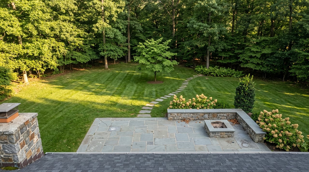
Farther north, Haw River State Park provides another type of outdoor experience through Piedmont forest, wetland scenery and walking trails. Together, these destinations make recreation one of Browns Summit’s clearest local advantages.
A 1,542-acre reservoir with boating, paddling, sailing, fishing, rentals and pier access in Browns Summit.
A broad recreation complex with public golf, practice facilities, courts, picnic space and a playground.
A nearby destination for wooded trails, wetland landscapes and a more natural Piedmont setting.
Schools and Education
Browns Summit is served by Guilford County Schools. The community includes long-standing local schools as well as access to the district’s magnet and choice programs.
Located at 5006 NC Highway 150 East, the school reflects the educational history of the Brown Summit and Monticello communities. Its local roots extend through earlier schools that served this part of Guilford County.
Brown Summit Middle is located at 4720 NC Highway 150 East and operates as a Guilford County magnet school focused on advanced academics. Admission follows the district’s current choice-program process.
Northeast Guilford High School is positioned near the US 29 and Hicone Road side of the area. It may serve some Browns Summit addresses based on the district’s current attendance boundaries.
Northern Guilford High School serves parts of northern Guilford County and may be relevant to certain Browns Summit locations. Exact assignment depends on the property address.
A Browns Summit mailing address does not establish a particular school assignment. Buyers can use Guilford County Schools’ current address tools to research attendance boundaries and separate magnet-program requirements.
Browns Summit traces its name to Jesse Brown, whose farm stood near a high point along the railroad route built through the area in 1863. The stop became known as Brown’s Summit, tying the place name to both the landowner and the elevated location.
Over time, the apostrophe disappeared from common use. “Brown Summit” remains visible in school names and some official references, while “Browns Summit” is widely used for mailing and real estate. Searchers may encounter all three spellings when researching the community.
The railroad influenced early development, but Browns Summit retained a rural foundation shaped by farms, wooded land, churches, schools and crossroads businesses. Brown Summit High School, built during the 1920s, also holds an important place in local educational history. The school site later became part of the community’s continuing education story through Brown Summit Middle.
Modern growth has brought more residential development and stronger connections with Greensboro. Even so, the community’s dispersed layout and open edges still reflect the history that came before it.
Planning Your Search
Because the community covers several distinct settings, a focused search should consider more than the home itself. These comparisons help reveal how an address may support the way you want to live.
Compare a defined neighborhood with a more open road, wooded edge or less concentrated setting.
Decide whether an established home, newer construction or a specific floor-plan style suits your priorities.
Think about how much yard, landscaping or natural space you actually want to use and maintain.
Check how the property connects with work, school, healthcare, shopping and the places visited most often.
Consider whether Lake Townsend, Bryan Park or nearby trails would be occasional destinations or part of a weekly routine.
Compare the quieter residential setting with the amount of driving preferred for dining, errands and services.
Continue Your Browns Summit Research
These resources explore specific parts of the Browns Summit experience without repeating the complete community guide.
Read more about the relationship between housing variety, outdoor access and the community’s connection with Greensboro.
Read the Article Homes With LandCompare how a home with additional outdoor space can differ from a traditional subdivision property.
Read the Article Outdoor GuideExplore how nearby trails and Lake Townsend’s water access can fit into a Browns Summit weekend.
Read the ArticleCompare Nearby Markets
Compare Browns Summit with nearby markets when deciding whether you prefer closer city access, a more established town center or another northern Guilford County setting.
Find concise answers about Browns Summit’s location, ZIP code, name, housing, schools and outdoor amenities.
No. Browns Summit is an unincorporated community in Guilford County, North Carolina. It does not have a separate incorporated town center.
Both forms are used locally. Historical references may also use Brown’s Summit. Brown Summit remains visible in school names, while Browns Summit is common in mailing and real estate references.
Browns Summit is in northeastern Guilford County, northeast of Greensboro.
The primary Browns Summit and Brown Summit ZIP code is 27214.
US 29 is the main connection toward Greensboro. NC Highway 150, Yanceyville Road, Hicone Road and Summit Avenue also shape access from different parts of the community.
Buyers may find established single-family homes, traditional subdivisions, newer construction and properties with more open or wooded surroundings. The mix varies by corridor and location.
Lake Townsend offers boating, paddling, sailing and fishing. Bryan Park adds golf, courts, picnic areas and a playground, while the nearby soccer complex hosts organized play and regional events.
Guilford County Schools serves the area. Local options include Monticello-Brown Summit Elementary and Brown Summit Middle, a magnet school focused on advanced academics. High school assignment varies by address.
Local Real Estate Guidance
Browse available homes or connect with Carolina Home Partners for help comparing properties, residential settings and nearby Triad communities.
14,929 people live in Browns Summit, where the median age is 35 and the average individual income is $33,316. Data provided by the U.S. Census Bureau.
Total Population
Median Age
Population Density Population Density This is the number of people per square mile in a neighborhood.
Average individual Income
There's plenty to do around Browns Summit, including shopping, dining, nightlife, parks, and more. Data provided by Walk Score and Yelp.
Explore popular things to do in the area, including All in the Family Ice Cream Parlor, Strader Farms, and Angie's Cakery and Dessert Parlour.
| Name | Category | Distance | Reviews |
Ratings by
Yelp
|
|---|---|---|---|---|
| Dining | 0.44 miles | 7 reviews | 5/5 stars | |
| Dining | 1.05 miles | 1 review | 5/5 stars | |
| Dining | 1.19 miles | 0 reviews | 0/5 stars | |
| Dining | 1.19 miles | 0 reviews | 0/5 stars | |
| Dining | 1.36 miles | 0 reviews | 0/5 stars | |
| Dining · $$ | 1.38 miles | 4 reviews | 4.5/5 stars | |
| Dining | 1.69 miles | 0 reviews | 0/5 stars | |
| Dining | 1.77 miles | 0 reviews | 0/5 stars | |
| Dining · $ | 1.81 miles | 2 reviews | 4/5 stars | |
| Dining · $ | 2.19 miles | 1 review | 5/5 stars | |
| Dining · $$ | 2.25 miles | 15 reviews | 4.8/5 stars | |
| Active | 0.49 miles | 0 reviews | 0/5 stars | |
| Active | 1.15 miles | 9 reviews | 2.9/5 stars | |
| Active | 1.19 miles | 0 reviews | 0/5 stars | |
| Active | 1.69 miles | 0 reviews | 0/5 stars | |
| Active | 1.69 miles | 0 reviews | 0/5 stars | |
| Active | 1.94 miles | 2 reviews | 1/5 stars | |
| Beauty | 0.44 miles | 0 reviews | 0/5 stars | |
| Beauty | 0.63 miles | 0 reviews | 0/5 stars | |
| Beauty | 1.19 miles | 0 reviews | 0/5 stars | |
| Beauty | 1.19 miles | 0 reviews | 0/5 stars | |
| Beauty | 1.69 miles | 0 reviews | 0/5 stars | |
| Beauty | 1.69 miles | 0 reviews | 0/5 stars | |
|
|
||||
|
|
||||
|
|
||||
|
|
||||
|
|
||||
|
|
Browns Summit has 5,443 households, with an average household size of 2.74. Data provided by the U.S. Census Bureau. Here’s what the people living in Browns Summit do for work — and how long it takes them to get there. Data provided by the U.S. Census Bureau. 14,929 people call Browns Summit home. The population density is 291 and the largest age group is Data provided by the U.S. Census Bureau.
Total Population
Population Density Population Density This is the number of people per square mile in a neighborhood.
Median Age
Men vs Women
Population by Age Group
0-9 Years
10-17 Years
18-24 Years
25-64 Years
65-74 Years
75+ Years
Education Level
Total Households
Average Household Size
Average individual Income
Households with Children
With Children:
Without Children:
Marital Status
Blue vs White Collar Workers
Blue Collar:
White Collar: